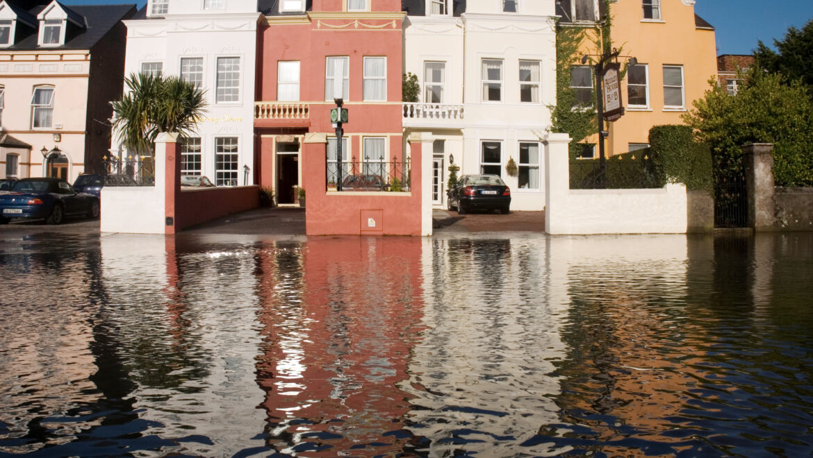
Ireland’s Counties Most At Risk from Flooding – And the Winner is…
Using our risk mapping platform Perilfinder™ we can get an overview of where the greatest risk is. As output, we have calculated the number of residential buildings that are at significant risk of flooding in each county.

