Why Geocoding and Data Enrichment Matter in Modern Insurance
In this article, we explore why precise geolocation and contextual property intelligence are fundamental to insurance, and what insurers risk when these elements are missing or misapplied.
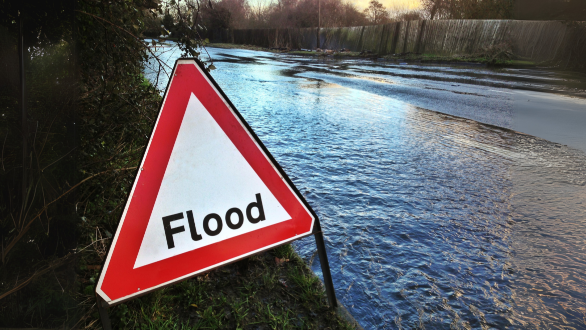
Flooding in Ireland is no longer a rare or seasonal issue. With climate change accelerating sea-level rise, storm surges, and extreme rainfall, many of the country’s urban centres have become what scientists now call “sitting ducks” — dangerously vulnerable to climate-driven disasters yet spared so far by little more than
Address matching in Ireland plays a critical role in ensuring clean, consistent, and accurate location data across sectors such as e-commerce, insurance, logistics, and telecommunications. In this guide, we’ll explore what address matching is, how it works, and – above all – why it’s vital for both private and public sector
Dublin, May 12th, 2025 – KatRisk, the leading provider of catastrophic risk modeling software to the insurance and financial services industries, is pleased to announce the acquisition of Gamma, a pioneering company in location intelligence and property-level risk assessment. This strategic move bolsters KatRisk’s expertise in risk analytics, enabling the
The GeoInsurance 2024 Webinar is now available to watch on-demand! In this 60-minute session, the speakers explored Ireland’s evolving climate risks and provided data-driven solutions for the insurance sector. Hosted by Gamma Risk’s Commercial Director, Richard Garry, we were delighted to welcome our guest speaker, Prof. Peter Thorne, Professor of Physical Geography (Climate Change) at Maynooth University and Director of the Irish Climate Analysis and Research Units (ICARUS).
The integration of Gamma Risk’s Perilfinder™ into Cytora’s advanced underwriting productivity tool will provide insurers with enhanced tools for precise risk evaluation and management. Perilfinder™ is a cutting-edge address-level risk assessment and reporting solution that includes map visualisation, intuitive risk and accumulation scoring, and powerful spatial catastrophe models.
Britain’s climate is changing and flooding will become much more prevalent due to wetter winters, sea level rise and more intense storms. Which areas will be affected most?
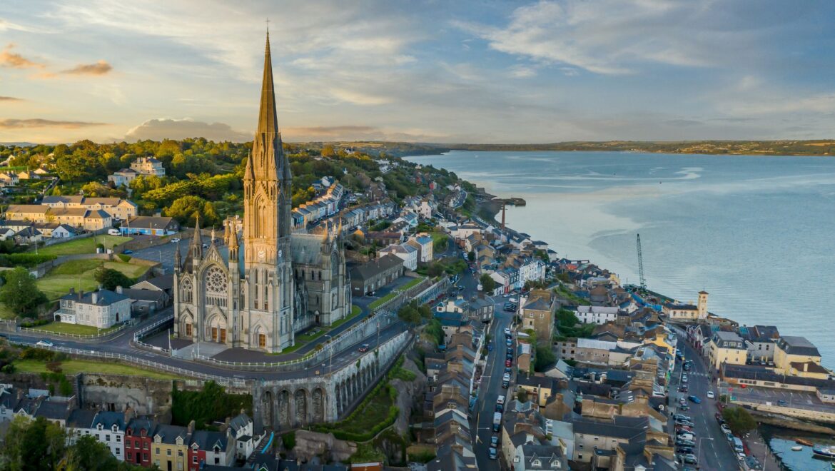
Climate change is driving increased sea levels and more extreme events around coastlines globally. How will Ireland be impacted? With up to €2Billion in property damage anticipated, which counties are most at risk?
Due to Spain’s large mountain ranges near the sea, unique meteorological events and uneven rainfall distribution lead to a large variance in the risk of flooding across the country. But which areas are most at risk?
EPCWOW is a new web tool which supports financial institutions to better assist their customers by enabling homeowners to understand both the financial and energy savings benefits of home upgrades.